


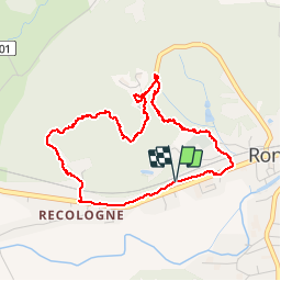

10.3 km | 13.6 km-effort

User


FREE GPS app for hiking
 SityTrail
IGN / Geographical institutes
SityTrail World
The world is yours!
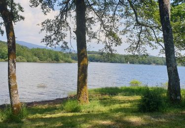
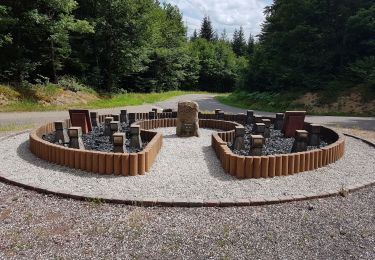
Trail Walking of 4.2 km to be discovered at Bourgogne-Franche-Comté, Haute-Saône, Ronchamp. This trail is proposed by ebihr4.


Walking
Walking
Walking
Walking
Walking
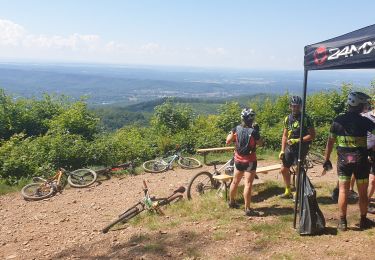
Mountain bike
Mountain bike
Walking

Walking
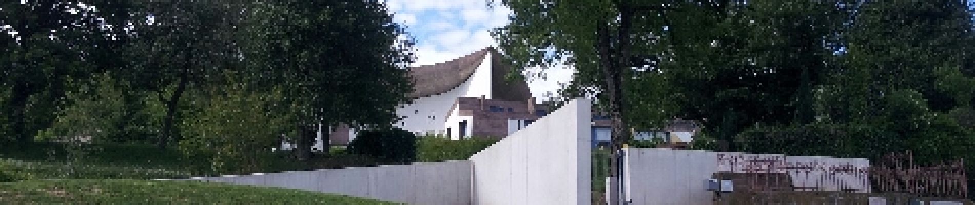
tres belle maniere d arrivee a ce joyau signe le corbusier.