


6.6 km | 12.1 km-effort

User GUIDE


FREE GPS app for hiking
 SityTrail
IGN / Geographical institutes
SityTrail World
The world is yours!
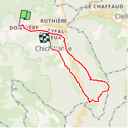
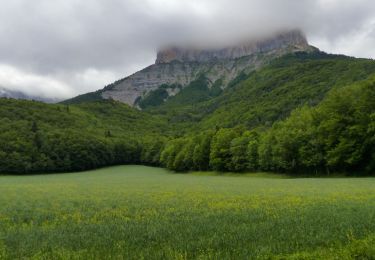
Trail Walking of 12.5 km to be discovered at Auvergne-Rhône-Alpes, Isère, Chichilianne. This trail is proposed by holtzv.
De Richardière à Chichiliane par le Platary_13km_620mPos_670mNeg


Walking

Walking

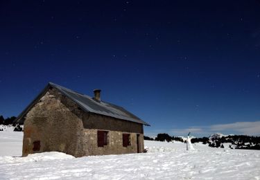
Snowshoes
Walking
Walking
Walking
On foot
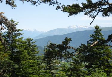
On foot
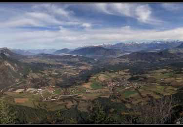
Walking