


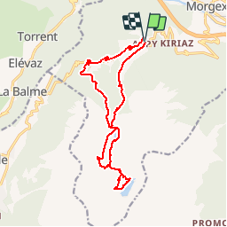

8.9 km | 19.8 km-effort


User


FREE GPS app for hiking
 SityTrail
IGN / Geographical institutes
SityTrail World
The world is yours!
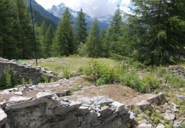
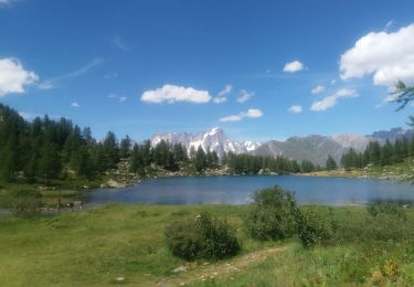
Trail Walking of 15.3 km to be discovered at Aosta Valley, Unknown, Morgex. This trail is proposed by Alfredy.
Lac d'Arpy en version beaucoup plus difficile pour atteindre le lac Di Pietra Rossa.
On foot
On foot
On foot
On foot
Walking

Walking
Walking
Walking

Nordic walking