


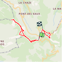

12.8 km | 24 km-effort

User


FREE GPS app for hiking
 SityTrail
IGN / Geographical institutes
SityTrail World
The world is yours!
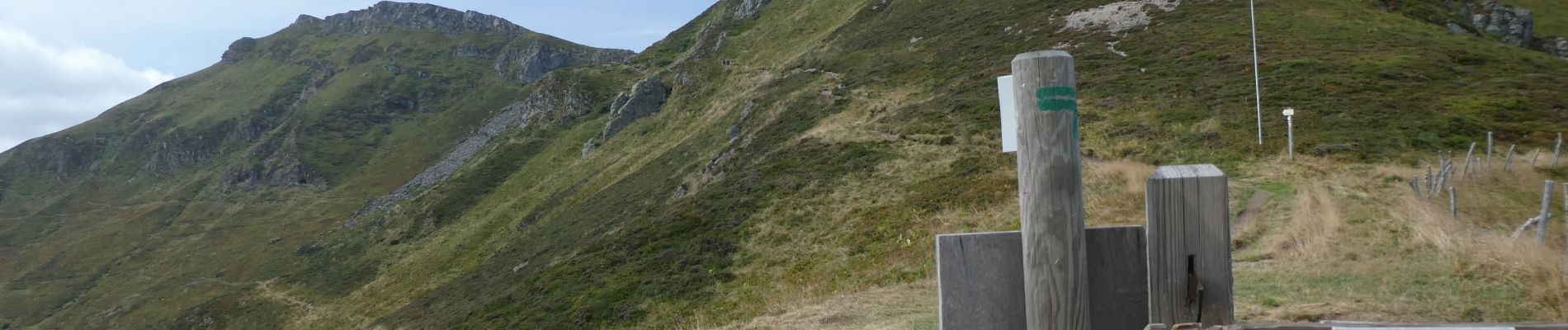
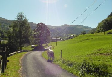
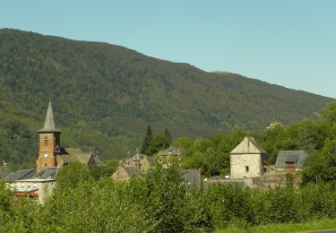
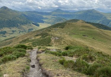
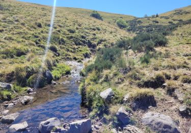
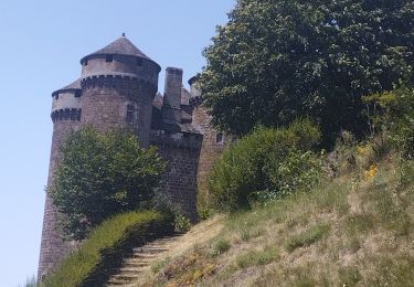
Trail Walking of 14.2 km to be discovered at Auvergne-Rhône-Alpes, Cantal, Le Falgoux. This trail is proposed by vertygo.
randonnée 1 : 4h30 ; randonnée 2 : 1h30


Walking

Walking
Walking
On foot
On foot
Walking
Walking
Walking
Hybrid bike