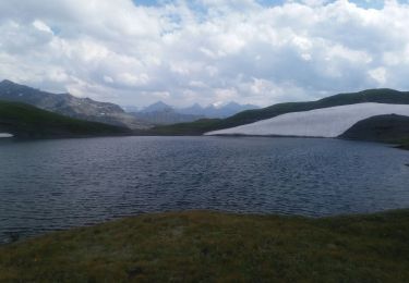
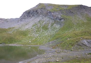
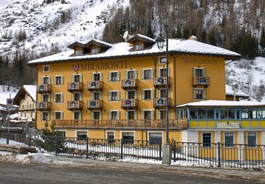
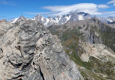
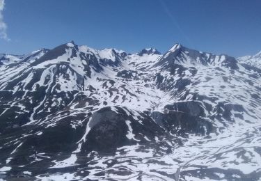
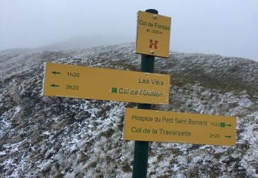
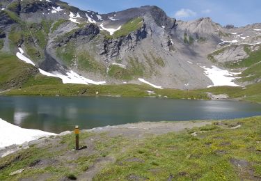
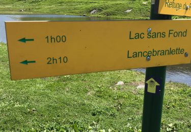
Trail Walking Séez - 2018-09-05_15h29m41_Lac Sans Fond et col de Forclaz - Photo

2018-09-05_15h29m41_Lac Sans Fond et col de Forclaz

© OpenStreetMap contributors
Length
Length
14.3 km
Max alt
Max alt
2525 m
Uphill gradient
Uphill gradient
604 m
Km-Effort
Km-Effort  
22 km
Min alt
Min alt
2120 m
Downhill gradient
Downhill gradient
603 m
Boucle
Boucle
Yes
Creation date :
2018-09-10 10:06:01.808
Updated on :
2018-09-10 10:10:17.024

(0 Reviews)

Walking
Walking
4h37
Difficulty : Very difficult

Scan this QR Code to open this trail in the SityTrail application

FREE GPS app for hiking

Logo SityTrail SityTrail

IGN / Geographical institutes

Download SityTrail from the App Store Download SityTrail from Google Play

Logo SityTrail SityTrail World

The world is yours!

Download SityTrail from the App Store Download SityTrail from Google Play Download SityTrail on Huawei AppGallery

About

Trail Walking of 14.3 km to be discovered at Auvergne-Rhône-Alpes, Savoy, Séez. This trail is proposed by PhilippeC54.

Elevation profile

Positioning

Country:
France
Region :
Auvergne-Rhône-Alpes
Department/Province :
Savoy
Municipality :
Séez
Location:
Unknown
Start:(UTM)
335141 ; 5060601 (32T) N.

Trails nearby

Trail Walking Séez - hospice petit saint Bernard . lac dans fond . la parciere . hospice - Photo
Walking
stef789

Walking

Very easy
(1)
Séez, Auvergne-Rhône-Alpes, Savoy, France
8.9 km | 13.7 km-effort
4h 16min
Yes
Trail Walking Séez - Lancebranlette - Photo
Walking
reneperrin

Walking

Medium
(1)
Séez, Auvergne-Rhône-Alpes, Savoy, France
10.2 km | 21 km-effort
3h 55min
Yes
Trail Walking Séez - Lancebranlette avec retour par le Lac sans Fond - Photo
Walking
Maryma

Walking

Difficult
(1)
Séez, Auvergne-Rhône-Alpes, Savoy, France
9.5 km | 21 km-effort
4h 40min
Yes
Trail On foot La Thuile - (SI F06) La Thuile - Rifugio Elisabetta - Photo
On foot
PRO

On foot

Medium
La Thuile, Aosta Valley, Unknown, Italy
17 km | 31 km-effort
6h 57min
No
Trail Walking Séez - lancebranlette et le lac sans fond - Photo
Walking
GUIDE
amiral13

Walking

Medium
Séez, Auvergne-Rhône-Alpes, Savoy, France
10.3 km | 21 km-effort
5h 27min
Yes
Trail Touring skiing Séez - col du Belvédère, le Valezan - Photo
Touring skiing
nadd73

Touring skiing

Easy
Séez, Auvergne-Rhône-Alpes, Savoy, France
16.7 km | 33 km-effort
7h 49min
Yes
Trail Walking Séez - Aiguille de clapper - Photo
Walking
PATGUSS

Walking

Easy
Séez, Auvergne-Rhône-Alpes, Savoy, France
5.6 km | 9.6 km-effort
2h 14min
Yes
Trail Walking Séez - Le lac sans fônd - Photo
Walking
fredmig67

Walking

Medium
(1)
Séez, Auvergne-Rhône-Alpes, Savoy, France
7.4 km | 12.1 km-effort
2h 35min
Yes
Trail Walking Séez - Lac sans fond en partant de l’hospice st bernard - Photo
Walking
Klhn

Walking

Medium
Séez, Auvergne-Rhône-Alpes, Savoy, France
7.1 km | 11.9 km-effort
2h 43min
Yes


Close
My subscriptions