


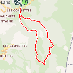

7.7 km | 13.8 km-effort

User

FREE GPS app for hiking
 SityTrail
IGN / Geographical institutes
SityTrail World
The world is yours!
Trail Walking of 8.1 km to be discovered at Auvergne-Rhône-Alpes, Isère, Villard-de-Lans. This trail is proposed by floup6138.
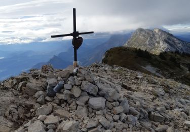
Belle randonnée de demie journée, sans difficulté à part le dernier km très calliouteux.
Le sentier à emprunter au niveau de la bergerie de la fauge est difficile à trouver.
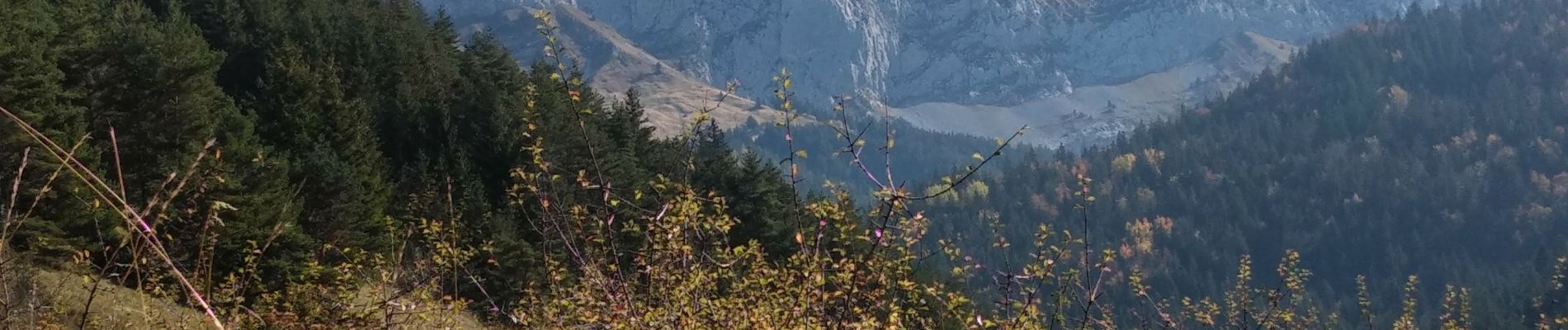
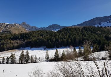
Alternance de paysages dégagés et de sous bois.


Walking

Walking

Snowshoes
Walking
Walking

Snowshoes

Mountain bike

Walking

Walking