


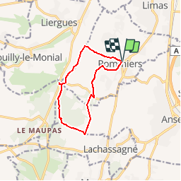


10.6 km | 14.7 km-effort


User


FREE GPS app for hiking
 SityTrail
IGN / Geographical institutes
SityTrail World
The world is yours!
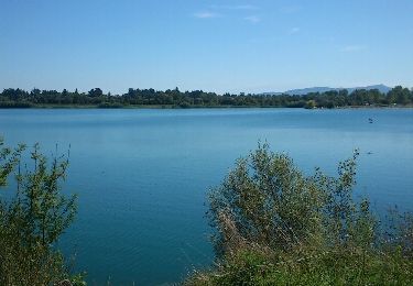
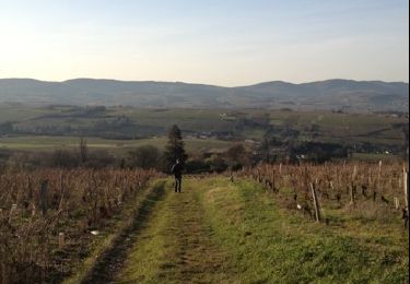
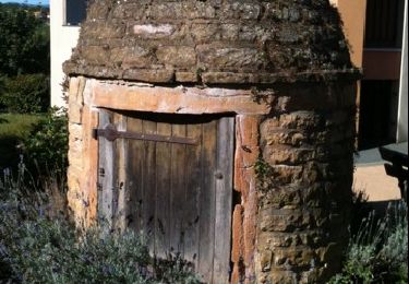
Trail On foot of 10.2 km to be discovered at Auvergne-Rhône-Alpes, Rhône, Pommiers. This trail is proposed by GERARDPASCAL.
Départ Eglise de Pommiers. Distance env 10 km, dénivelé positif 238 m.
Walking
Walking
Walking

Walking
Walking

Walking

Walking