


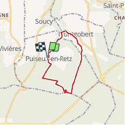


5.7 km | 7.9 km-effort

Randonnées de RandoFamili


FREE GPS app for hiking
 SityTrail
IGN / Geographical institutes
SityTrail World
The world is yours!
Trail Walking of 9.1 km to be discovered at Hauts-de-France, Aisne, Puiseux-en-Retz. This trail is proposed by Rando Famili.
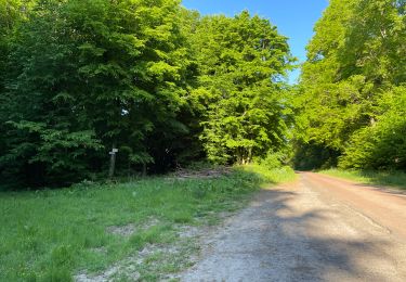
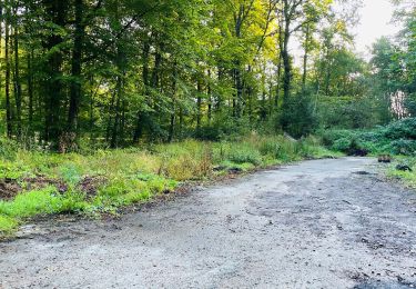
Depuis le village fleuri de Puisieux, de pinède en hêtraie et en peupleraie, ce circuit entre forêts et vallons mène au monument Mangin, hommage à la contre-offensive décisive de 1918, puis à Montgobert, où le musée du Bois présente dans le château une impressionnante collection d'outils agricoles et forestiers.


Walking
Walking

Walking

On foot
Walking

Walking

Walking

Walking

Walking