


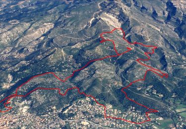
10.7 km | 16.2 km-effort


User


FREE GPS app for hiking
 SityTrail
IGN / Geographical institutes
SityTrail World
The world is yours!
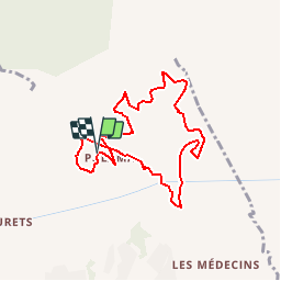
Trail Walking of 8.6 km to be discovered at Provence-Alpes-Côte d'Azur, Bouches-du-Rhône, Marseille. This trail is proposed by lhags.
Départ par le sentier de découverte
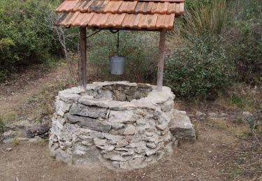
On rejoint le vallon, partie la plus intéressante
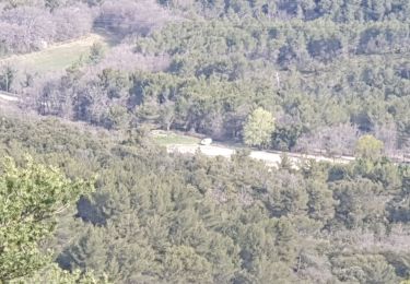
Une grosse partie de la ballade se fait sur des chemins larges types VTT.
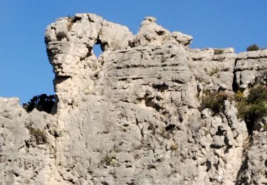
Larges panoramas
(B:Boucle/dénivellé:361m/distance:8.6km/Difficulté:12)
Intéret : 2/5

Walking

Mountain bike

Walking
Walking
Walking
Walking
Electric bike
Walking
Walking