


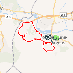

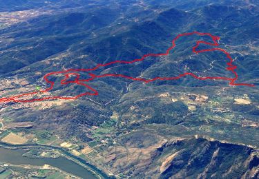
14.4 km | 20 km-effort

User


FREE GPS app for hiking
 SityTrail
IGN / Geographical institutes
SityTrail World
The world is yours!
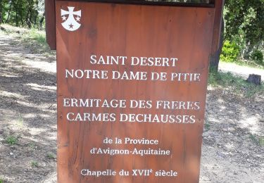
Trail Walking of 14.8 km to be discovered at Provence-Alpes-Côte d'Azur, Var, Roquebrune-sur-Argens. This trail is proposed by Greg813.
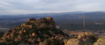
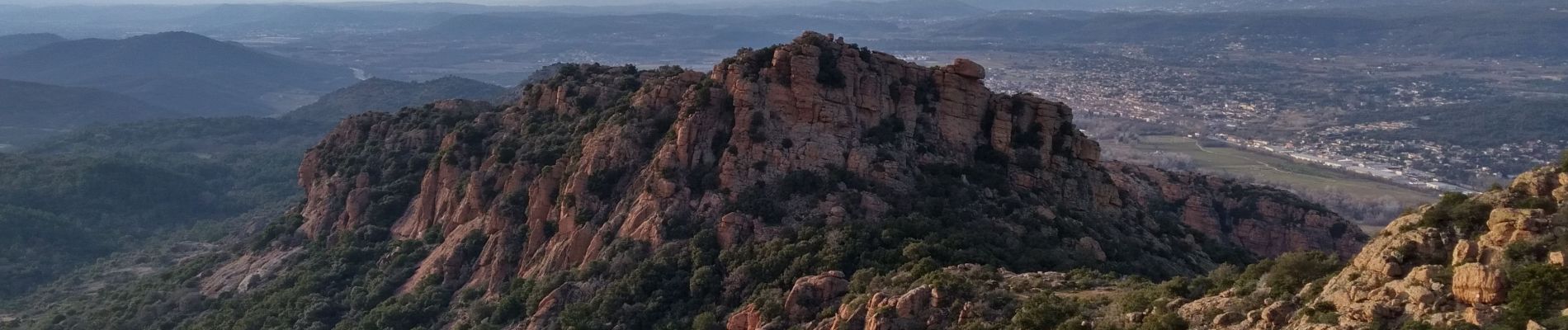
Randonnée autour du rocher de Roquebrune sur Argens (possibilité de faire un détour jusqu'au sommet).


Walking

Walking

On foot

Walking
On foot
Walking
Walking

Mountain bike
Walking