


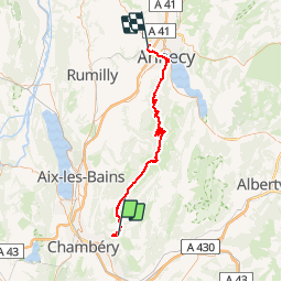

47 km | 82 km-effort


User


FREE GPS app for hiking
 SityTrail
IGN / Geographical institutes
SityTrail World
The world is yours!
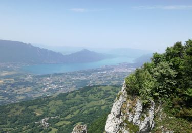
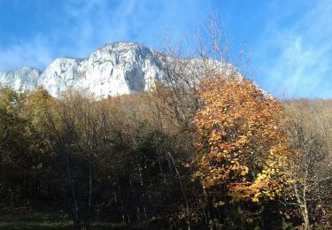
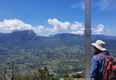
Trail Cycle of 66 km to be discovered at Auvergne-Rhône-Alpes, Savoy, Saint-Jean-d'Arvey. This trail is proposed by jojoimothep.

Running

Walking

Snowshoes

Walking
Walking
Walking
Walking
Walking
Walking