Trail Walking Retheuil - en forêt de Retz_76_dans les forêts de Retz et de Compiègne - Photo

en forêt de Retz_76_dans les forêts de Retz et de Compiègne

forêts de France

© OpenStreetMap contributors
Length
Length
22 km
Max alt
Max alt
245 m
Uphill gradient
Uphill gradient
329 m
Km-Effort
Km-Effort  
26 km
Min alt
Min alt
81 m
Downhill gradient
Downhill gradient
328 m
Boucle
Boucle
Yes
Creation date :
2019-02-23 08:49:20.0
Updated on :
2020-11-08 13:39:07.409

(0 Reviews)

Walking
Walking
5h52
Difficulty : Difficult

Scan this QR Code to open this trail in the SityTrail application

FREE GPS app for hiking

Logo SityTrail SityTrail

IGN / Geographical institutes

Download SityTrail from the App Store Download SityTrail from Google Play

Logo SityTrail SityTrail World

The world is yours!

Download SityTrail from the App Store Download SityTrail from Google Play Download SityTrail on Huawei AppGallery

About

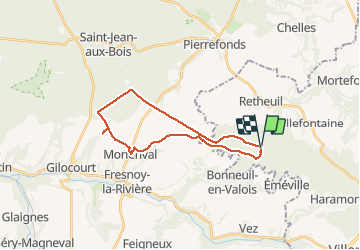
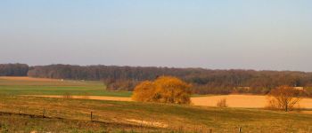
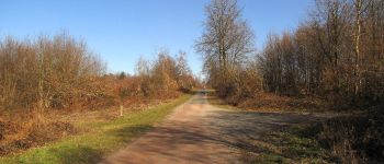
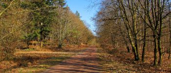
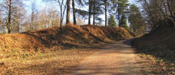
Trail Walking of 22 km to be discovered at Hauts-de-France, Aisne, Retheuil. This trail is proposed by en forêt de Retz.

Description

02/ 2019
voir aussi: https://foret-de-retz.over-blog.com/2019/03/en-foret-de-retz_76_02_2019_dans-les-forets-de-retz-et-de-compiegne.html

batterie de recharge pour iphone indispensable.
rando classée très difficile  (longueur).

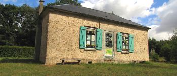
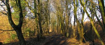
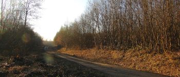
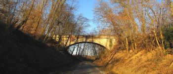
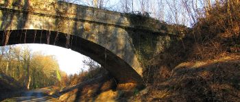
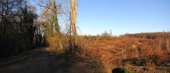
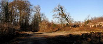
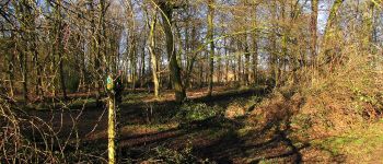
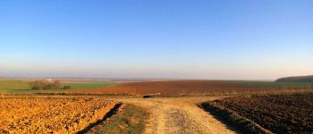
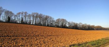
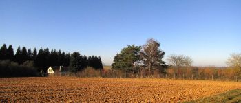
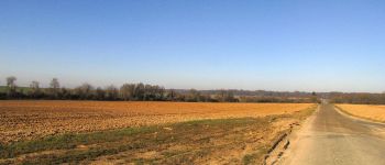
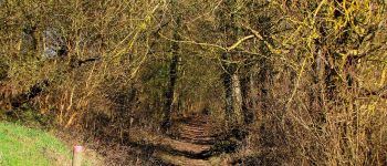
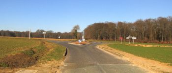
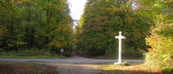
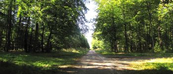
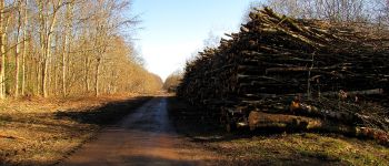
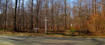
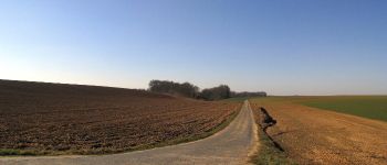
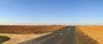
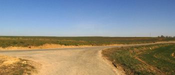
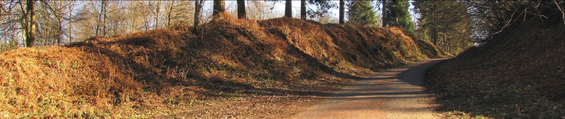
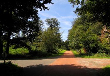
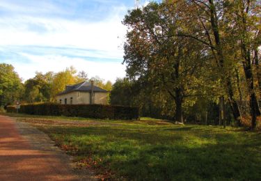
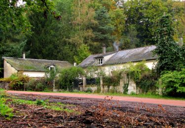
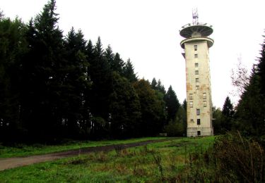
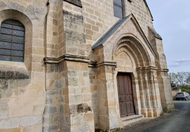
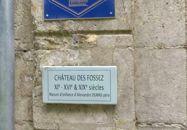
Au départ du carrefour de Montaigu (maison des chauves-souris dans la forêt de Retz), suivre la laie du Bois Hariez jusqu'au carrefour du Bois Hariez. Prendre la laie de la Santoire pour rejoindre le chemin du Pommier Walleyrand. Le suivre en remontant sur la droite et en allant jusqu'au bout de la forêt (Nord-Ouest). Tourner à droite puis à gauche sur la Route du Faîte (D33 à cet endroit). Continuer jusqu'au carrefour Eulalie (forêt de Compiègne). Tourner à gauche dans la Route de la Fortelle et la suivre jusqu'au carrefour de la Fortelle. Prendre à gauche la D163 (casse-croûte dans un buisson car beaucoup de vent). Traverser Morienval puis récupérer la D163 et traverser Brassoir. A la sortie, suivre un chemin en direction de la forêt de Retz. Récupérer la Route du Faîte pour revenir au carrefour de Montaigu.

Elevation profile

Photos

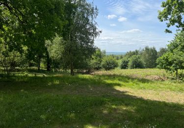
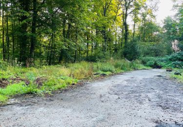
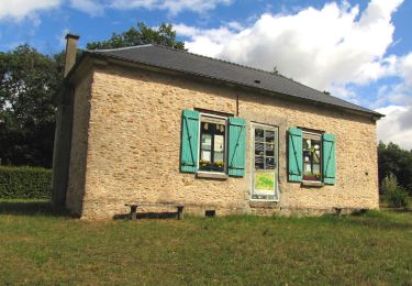
143 photos in total. Please click on a photo to see them all in the gallery.

Points of interest

Point of interest Retheuil - départ et arrivée - Photo
JeanLucA4
Point of interest Haramont - Point 8 - Photo
JeanLucA4
HARAMONT 
Point of interest Haramont - Point 2 - Photo
JeanLucA4
HARAMONT 
Point of interest Haramont - Point 3 - Photo
JeanLucA4
HARAMONT 
Point of interest Haramont - Point 4 - Photo
JeanLucA4
HARAMONT 
Point of interest Haramont - Point 5 - Photo
JeanLucA4
HARAMONT 
Point of interest Haramont - Point 6 - Photo
JeanLucA4
HARAMONT 
Point of interest Haramont - Point 7 - Photo
JeanLucA4
HARAMONT 
Point of interest Haramont - Point 8 - Photo
JeanLucA4
HARAMONT 
Point of interest Bonneuil-en-Valois - Point 9 - Photo
JeanLucA4
BONNEUIL-EN-VALOIS 
Point of interest Haramont - Point 10 - Photo
JeanLucA4
HARAMONT 
Point of interest Haramont - Point 11 - Photo
JeanLucA4
HARAMONT 
Point of interest Morienval - Point 12 - Photo
JeanLucA4
MORIENVAL 
Point of interest Morienval - Point 13 - Photo
JeanLucA4
MORIENVAL 
Point of interest Morienval - Point 14 - Photo
JeanLucA4
MORIENVAL 
Point of interest Morienval - Point 15 - Photo
JeanLucA4
MORIENVAL 
Point of interest Morienval - Point 16 - Photo
JeanLucA4
MORIENVAL 
Point of interest Morienval - Point 17 - Photo
JeanLucA4
MORIENVAL 
Point of interest Morienval - Point 18 - Photo
JeanLucA4
MORIENVAL 
Point of interest Morienval - Point 19 - Photo
JeanLucA4
MORIENVAL 
Point of interest Morienval - Point 22 - Photo
JeanLucA4
MORIENVAL 
Point of interest Morienval - Point 23 - Photo
JeanLucA4
MORIENVAL 
Point of interest Morienval - Point 24 - Photo
JeanLucA4
MORIENVAL 
Point of interest Gilocourt - Point 25 - Photo
JeanLucA4
GILOCOURT 
Point of interest Morienval - Point 26 - Photo
JeanLucA4
MORIENVAL 
Point of interest Morienval - Point 27 - Photo
JeanLucA4
MORIENVAL 
Point of interest Morienval - Point 28 - Photo
JeanLucA4
MORIENVAL 
Point of interest Morienval - Point 29 - Photo
JeanLucA4
MORIENVAL 
Point of interest Morienval - Point 30 - Photo
JeanLucA4
MORIENVAL 
Point of interest Haramont - Point 31 - Photo
JeanLucA4
HARAMONT 
Point of interest Haramont - Point 32 - Photo
JeanLucA4
HARAMONT 
Point of interest Haramont - Point 33 - Photo
JeanLucA4
HARAMONT 

Positioning

Country:
France
Region :
Hauts-de-France
Department/Province :
Aisne
Municipality :
Retheuil
Location:
Unknown
Start:(UTM)
500735 ; 5460911 (31U) N.

Trails nearby

Trail Walking Haramont - 120522- - Photo
Walking
Vadim

Walking

Haramont, Hauts-de-France, Aisne, France
5.1 km | 7.8 km-effort
1h 13min
No
Trail Walking Largny-sur-Automne - en Forêt de Retz_90_09_2021_la Selve - Photo
Walking

Walking

Medium
Largny-sur-Automne, Hauts-de-France, Aisne, France
6.2 km | 7.8 km-effort
1h 52min
Yes
Trail Walking Haramont - en forêt de Retz_84_la Laie du Petit Bois d'Haramont - Photo
Walking

Walking

Medium
Haramont, Hauts-de-France, Aisne, France
15.8 km | 19.5 km-effort
4h 3min
Yes
Trail Walking Haramont - en forêt de Retz_79_08_2019_vers Taillefontaine et Retheuil par les lisières - Photo
Walking

Walking

Very difficult
Haramont, Hauts-de-France, Aisne, France
17.1 km | 22 km-effort
5h 25min
Yes
Trail Walking Haramont - en forêt de Retz_72_dans les forêts de Retz et de Compiègne - Photo
Walking

Walking

Medium
Haramont, Hauts-de-France, Aisne, France
19.5 km | 23 km-effort
5h 22min
Yes
Trail Walking Taillefontaine - en foret de Retz_50_MF La Croix Morel_les Hauts de Retz_ancienne voie ferrée_AR - Photo
Walking

Walking

Very difficult
Taillefontaine, Hauts-de-France, Aisne, France
27 km | 34 km-effort
7h 26min
Yes
Trail Walking Taillefontaine - en forêt de Retz_44_laie des pots_2 - Photo
Walking

Walking

Very difficult
Taillefontaine, Hauts-de-France, Aisne, France
17.9 km | 21 km-effort
5h 35min
No
Trail Walking Vez - Vallée de l'automne - Photo
Walking
katiab

Walking

Easy
Vez, Hauts-de-France, Oise, France
7.3 km | 8.6 km-effort
1h 45min
Yes
Trail Walking Haramont - Haramont  - Photo
Walking
pikibangi

Walking

Very difficult
Haramont, Hauts-de-France, Aisne, France
19.8 km | 26 km-effort
4h 34min
Yes


Close
My subscriptions