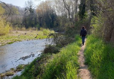
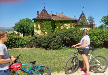
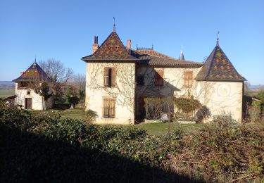
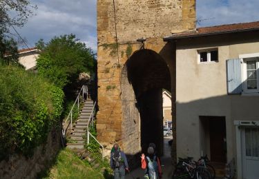
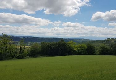
Trail Hybrid bike Lens-Lestang - l'ensemble lestang - Photo
 bpc
bpc

User

© OpenStreetMap contributors
Length
Length
33 km
Max alt
Max alt
453 m
Uphill gradient
Uphill gradient
545 m
Km-Effort
Km-Effort  
40 km
Min alt
Min alt
244 m
Downhill gradient
Downhill gradient
545 m
Boucle
Boucle
Yes
Creation date :
2019-03-23 08:16:56.7
Updated on :
2019-03-23 10:43:44.571

(0 Reviews)

Hybrid bike
Hybrid bike
2h25
Difficulty : Medium

Scan this QR Code to open this trail in the SityTrail application

FREE GPS app for hiking

Logo SityTrail SityTrail

IGN / Geographical institutes

Download SityTrail from the App Store Download SityTrail from Google Play

Logo SityTrail SityTrail World

The world is yours!

Download SityTrail from the App Store Download SityTrail from Google Play Download SityTrail on Huawei AppGallery

About

Trail Hybrid bike of 33 km to be discovered at Auvergne-Rhône-Alpes, Drôme, Lens-Lestang. This trail is proposed by bpc.

Elevation profile

Positioning

Country:
France
Region :
Auvergne-Rhône-Alpes
Department/Province :
Drôme
Municipality :
Lens-Lestang
Location:
Unknown
Start:(UTM)
660227 ; 5017535 (31T) N.

Trails nearby

Trail Walking Hauterives - boucle idéale - Photo
Walking
bob2023

Walking

Easy
(1)
Hauterives, Auvergne-Rhône-Alpes, Drôme, France
7.9 km | 9.1 km-effort
2h 29min
Yes
Trail Walking Hauterives - Hauterives amicale  - Photo
Walking
alinetpierre

Walking

Easy
Hauterives, Auvergne-Rhône-Alpes, Drôme, France
13.1 km | 17.2 km-effort
3h 4min
Yes
Trail Road bike Lens-Lestang - Lens-lestang à Veyrac - Photo
Road bike
Vedett26

Road bike

Very difficult
(1)
Lens-Lestang, Auvergne-Rhône-Alpes, Drôme, France
146 km | 178 km-effort
10h 46min
No
Trail Cycle Lens-Lestang - Lens Lestang ballade historique en vélo  - Photo
Cycle
crocau

Cycle

Medium
(1)
Lens-Lestang, Auvergne-Rhône-Alpes, Drôme, France
13.1 km | 17.1 km-effort
Unknown
Yes
Trail Walking Lens-Lestang - Lens Lestang- route des Châteaux - Photo
Walking
crocau

Walking

Easy
Lens-Lestang, Auvergne-Rhône-Alpes, Drôme, France
9.4 km | 11.7 km-effort
1h 42min
Yes
Trail Walking Hauterives - Hauterives  - Photo
Walking
meillon

Walking

Easy
Hauterives, Auvergne-Rhône-Alpes, Drôme, France
10.5 km | 13.2 km-effort
3h 3min
Yes
Trail Walking Hauterives - 26 hauterives 01.05.23 - Photo
Walking
himba26100

Walking

Easy
Hauterives, Auvergne-Rhône-Alpes, Drôme, France
15.2 km | 19.4 km-effort
4h 10min
Yes
Trail Bicycle tourism Hauterives - Hauterive - Crest - Photo
Bicycle tourism
karawatsj

Bicycle tourism

Medium
Hauterives, Auvergne-Rhône-Alpes, Drôme, France
78 km | 90 km-effort
4h 23min
No
Trail sport Moras-en-Valloire - Marche active lapeyrouse départ Moras - Photo
sport
PapaLima

sport

Very easy
Moras-en-Valloire, Auvergne-Rhône-Alpes, Drôme, France
8.2 km | 11.8 km-effort
Unknown
Yes


Close
My subscriptions