


MONT DE CORSUET: CHAMBOTTE - GROTTE DES FEES - MEYRIEUX (retour par les crêtes)

djeepee74
User
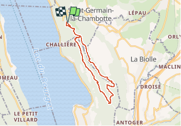

Length
13.1 km

Max alt
844 m

Uphill gradient
568 m
Km-Effort
21 km

Min alt
517 m

Downhill gradient
569 m
Boucle
Yes
Creation date :
2019-04-09 11:19:07.331
Updated on :
2021-04-03 18:51:04.055
4h00
Difficulty : Medium

FREE GPS app for hiking
 SityTrail
IGN / Geographical institutes
SityTrail Plus
The world is yours!
About
Trail Walking of 13.1 km to be discovered at Auvergne-Rhône-Alpes, Savoy, Entrelacs. This trail is proposed by djeepee74.
Description
BOUCLE
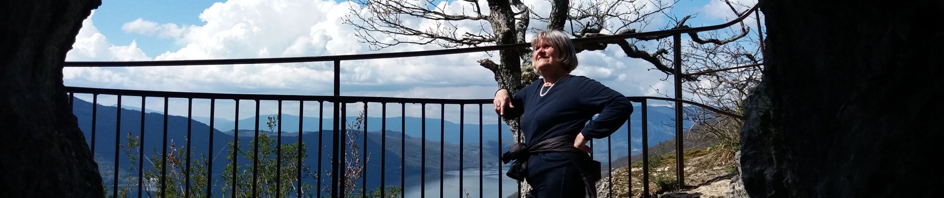
Photos
 - Photo 1")
 - Photo 2")
 - Photo 3")
Positioning
Country:
France
Region :
Auvergne-Rhône-Alpes
Department/Province :
Savoy
Municipality :
Entrelacs
Location:
Saint-Germain-la-Chambotte
Start:(Dec)
Start:(UTM)
723597 ; 5072917 (31T) N.
Comments