


13.8 km | 17.9 km-effort


User


FREE GPS app for hiking
 SityTrail
IGN / Geographical institutes
SityTrail World
The world is yours!
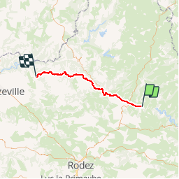
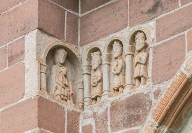
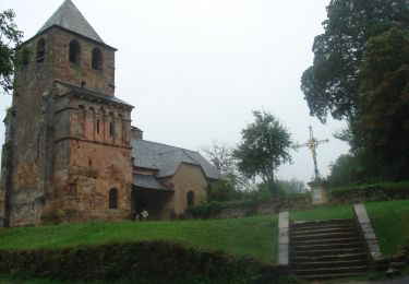
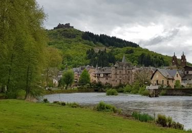
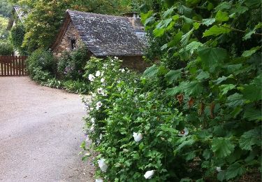
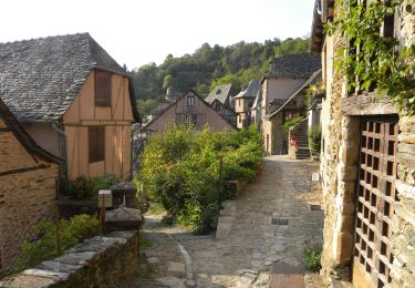
Trail Mountain bike of 49 km to be discovered at Occitania, Aveyron, Saint-Côme-d'Olt. This trail is proposed by napoli.
Compostelle 2 en VTT etape2.
Le Sauvage - Nasbinals
53.6km
995m D
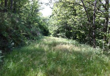
Walking

Walking
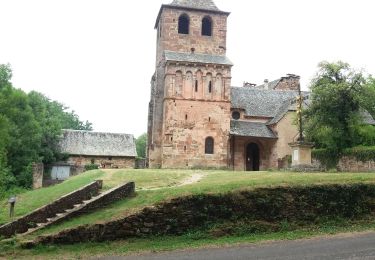
Walking
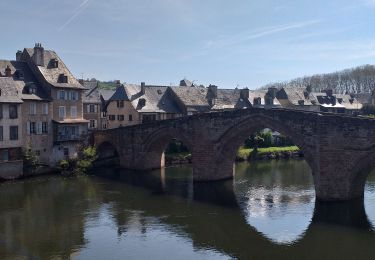
Walking
On foot
Walking
Walking
Walking
Walking