


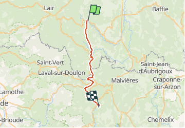

16.5 km | 23 km-effort


User


FREE GPS app for hiking
 SityTrail
IGN / Geographical institutes
SityTrail World
The world is yours!
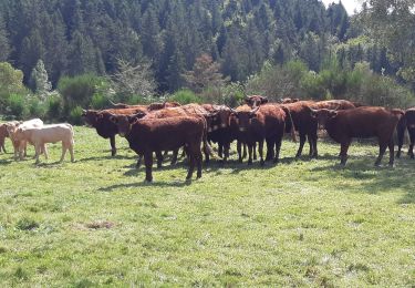
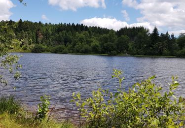
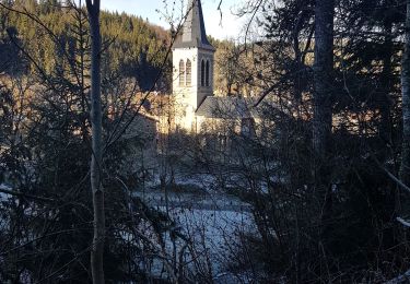
Trail Equestrian of 26 km to be discovered at Auvergne-Rhône-Alpes, Puy-de-Dôme, Saint-Bonnet-le-Chastel. This trail is proposed by clement63.
Donc on part du gite de saint bonnet pour allez à le mas oui oui le mas ça existe lol
On foot

On foot
On foot
On foot
On foot
Walking
Bicycle tourism

Walking
Walking
pas encore fait^^