


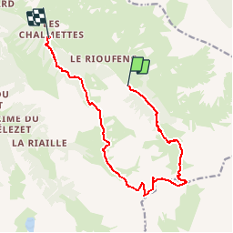

13.1 km | 26 km-effort


User


FREE GPS app for hiking
 SityTrail
IGN / Geographical institutes
SityTrail World
The world is yours!
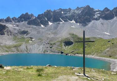
Trail Walking of 14.4 km to be discovered at Provence-Alpes-Côte d'Azur, Hautes-Alpes, Ceillac. This trail is proposed by GAPIAN43.
Lac et col de Clausis - Tete du Longet ou Rissace - La Crete - Vallon de Beaubardon. Prévoir une navette voiture

Walking

Walking

Walking
Walking
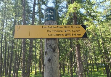
Walking
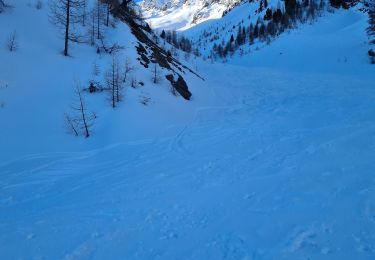
Touring skiing
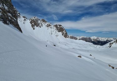
Touring skiing
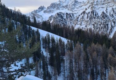
Touring skiing
Walking