


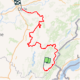

16.3 km | 31 km-effort


User


FREE GPS app for hiking
 SityTrail
IGN / Geographical institutes
SityTrail World
The world is yours!
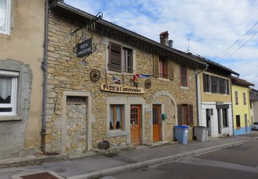
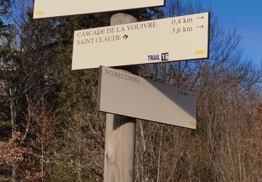
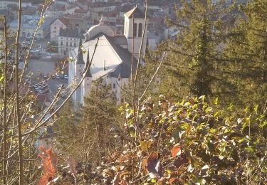
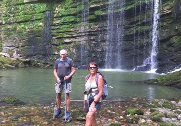
Trail of 294 km to be discovered at Bourgogne-Franche-Comté, Jura, Saint-Claude. This trail is proposed by mariedelustin.

Walking

Running
Walking
Walking
Walking
On foot
Walking
Walking
Walking