


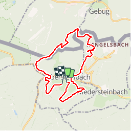

10.9 km | 14.8 km-effort


User


FREE GPS app for hiking
 SityTrail
IGN / Geographical institutes
SityTrail World
The world is yours!
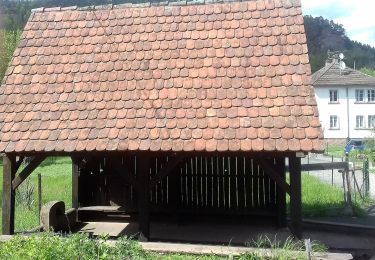
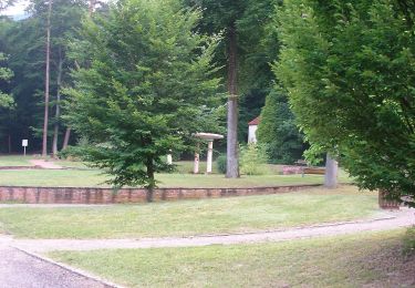
Trail Horseback riding of 16.1 km to be discovered at Grand Est, Bas-Rhin, Obersteinbach. This trail is proposed by claude-aei.
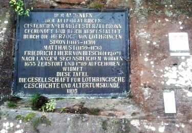
Petite balade autour d'Obersteinbach, avec visite du château du Wasigenstein. (Prévoir licol).
On foot
On foot

On foot

On foot
On foot
On foot

On foot

On foot