


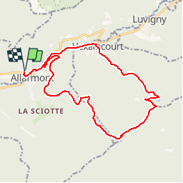

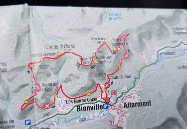
10.7 km | 16.5 km-effort


User


FREE GPS app for hiking
 SityTrail
IGN / Geographical institutes
SityTrail World
The world is yours!
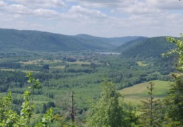
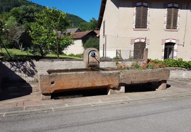
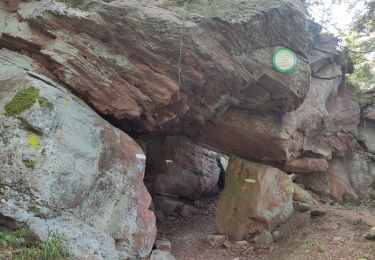
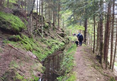
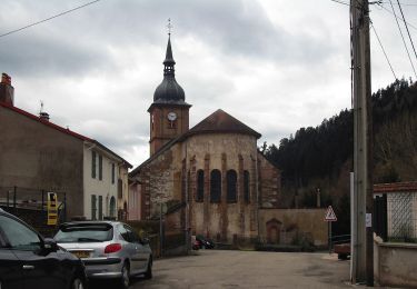
Trail Equestrian of 17.1 km to be discovered at Grand Est, Meurthe-et-Moselle, Bionville. This trail is proposed by jo40.
Walking

Coupling
Walking

Walking
Walking
Walking
On foot
Walking
Walking