


12 km | 26 km-effort


User


FREE GPS app for hiking
 SityTrail
IGN / Geographical institutes
SityTrail World
The world is yours!
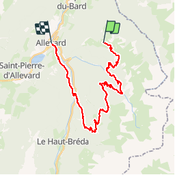
Trail Mountain bike of 29 km to be discovered at Auvergne-Rhône-Alpes, Isère, Allevard. This trail is proposed by ppollet73.
http://www.spot-web.fr/grenoble/article/33994-CIRCUIT VTT : LA TRILOGIE DES FOUS.html

Walking

Walking
Walking
On foot
On foot
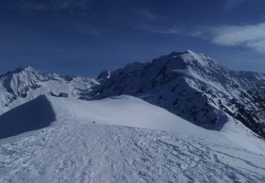
Touring skiing
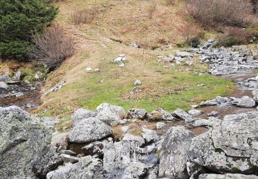
Walking
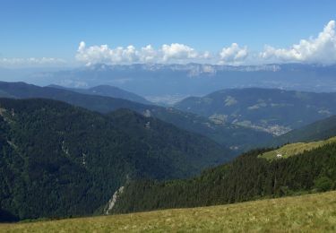
Walking
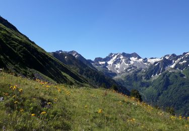
Walking