


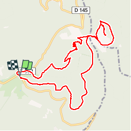

12.6 km | 16.9 km-effort


User


FREE GPS app for hiking
 SityTrail
IGN / Geographical institutes
SityTrail World
The world is yours!
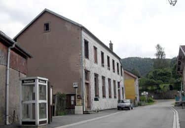
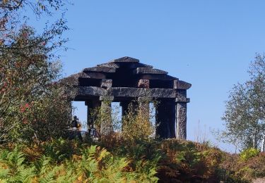
Trail Walking of 11.3 km to be discovered at Grand Est, Bas-Rhin, Grandfontaine. This trail is proposed by dragonfr67.
Petite randonnée sympa, pas trop de dénivelé.

Walking

Walking

Walking
Walking
Walking
Walking
On foot
Walking

Walking