


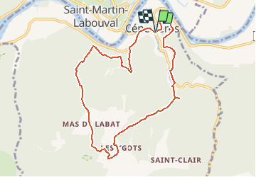


19.4 km | 28 km-effort


User


FREE GPS app for hiking
 SityTrail
IGN / Geographical institutes
SityTrail World
The world is yours!
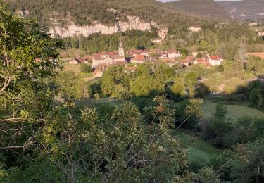
Trail Walking of 9.6 km to be discovered at Occitania, Lot, Cénevières. This trail is proposed by gct.
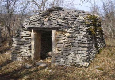
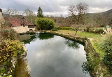
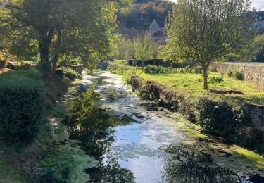
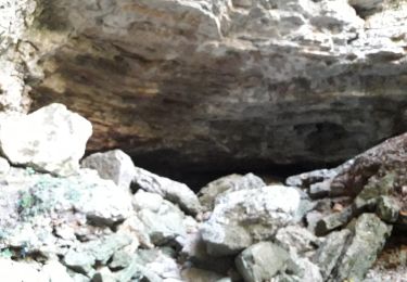
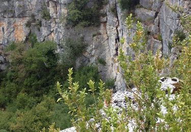
Points de vue sur la vallée du Lot, dolmen, pigeonnier, cazelles, puits, maisons typiques, résurgence du trou Madame, château de Cenevières
Walking
Walking
Walking
Walking

Walking

Walking

Walking
Walking