


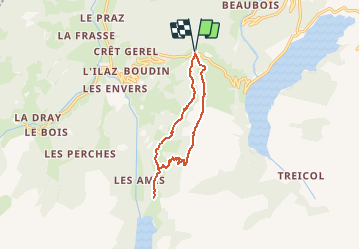

8.2 km | 17.9 km-effort


User


FREE GPS app for hiking
 SityTrail
IGN / Geographical institutes
SityTrail World
The world is yours!
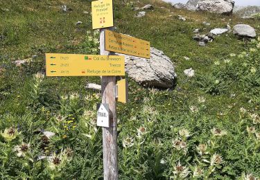
Trail Walking of 10.8 km to be discovered at Auvergne-Rhône-Alpes, Savoy, Beaufort. This trail is proposed by namoureux.
Pt de départ : N 45.690288° / E 6.598032°
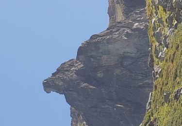
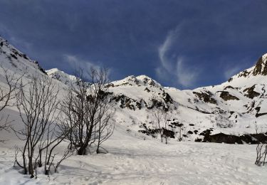
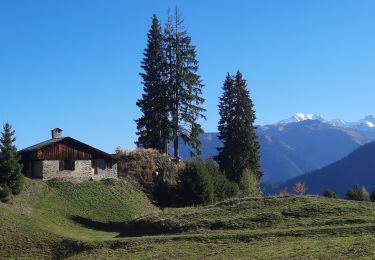
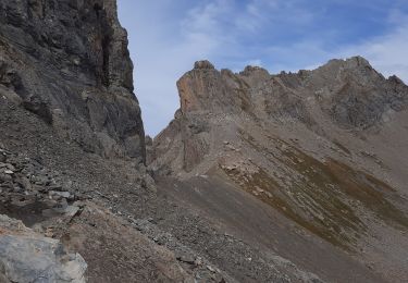
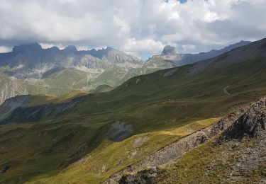
Jolie balade sur une crête accessible, au milieu des fleurs et avec un panorama fantastique sur le Lac de Roselend et les sommets enneigés.

Walking
Walking
Touring skiing
Walking
Walking
Walking
Walking
Touring skiing
Walking