


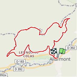

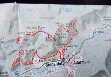
13.4 km | 16.6 km-effort

User GUIDE


FREE GPS app for hiking
 SityTrail
IGN / Geographical institutes
SityTrail World
The world is yours!
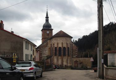
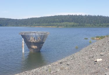
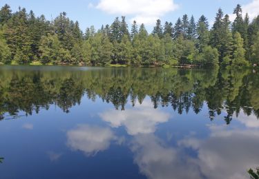
Trail Walking of 10.7 km to be discovered at Grand Est, Vosges, Allarmont. This trail is proposed by holtzv.
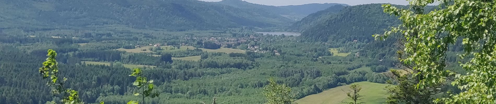
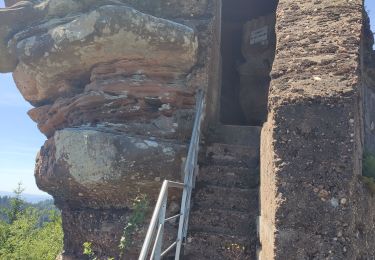
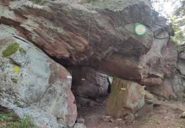
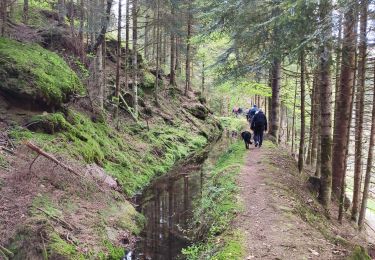
Marche en aller-retour depuis Allarmont pour voir tous ses rochers : Passage par la roche de l’Aigle, les roches Ganaux et son abri, le col de la Borne, la roche aux Cochons, la Croix Bodin et le rocher de Rambiroche


Coupling
Walking
Walking
Walking
Walking
On foot
Walking
Walking
Walking