Trail Walking Rovon - Pied Aigu - Photo
 patjobou
patjobou

User

© OpenStreetMap contributors
Length
Length
12.4 km
Max alt
Max alt
903 m
Uphill gradient
Uphill gradient
745 m
Km-Effort
Km-Effort  
22 km
Min alt
Min alt
212 m
Downhill gradient
Downhill gradient
744 m
Boucle
Boucle
Yes
Creation date :
2019-06-13 07:35:08.597
Updated on :
2019-06-14 13:55:30.803

(0 Reviews)

Walking
Walking
5h19
Difficulty : Difficult

Scan this QR Code to open this trail in the SityTrail application

FREE GPS app for hiking

Logo SityTrail SityTrail

IGN / Geographical institutes

Download SityTrail from the App Store Download SityTrail from Google Play

Logo SityTrail SityTrail World

The world is yours!

Download SityTrail from the App Store Download SityTrail from Google Play Download SityTrail on Huawei AppGallery

About

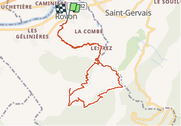
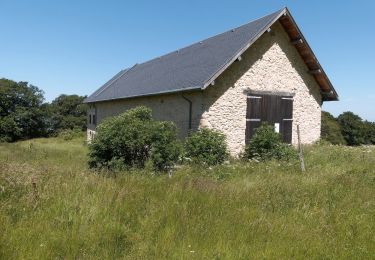
Trail Walking of 12.4 km to be discovered at Auvergne-Rhône-Alpes, Isère, Rovon. This trail is proposed by patjobou.

Description

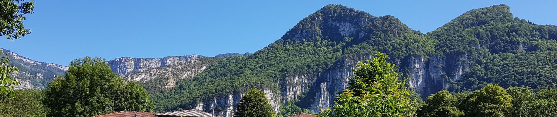
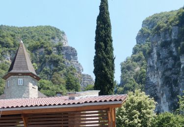
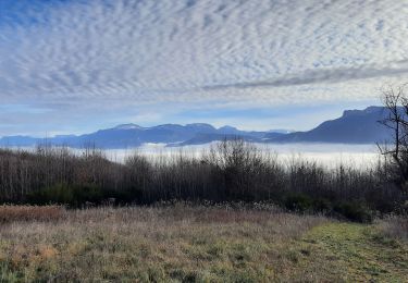
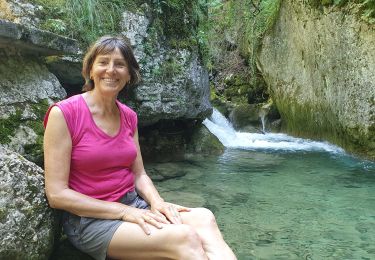
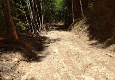
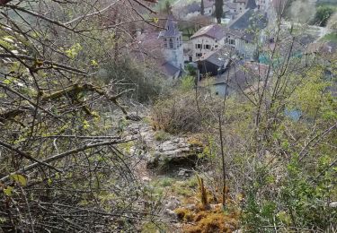
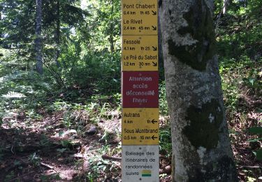
Belle boucle dans les forets moussues du Nord Vercors, avec retour par les gorges du Gorgonnet.  Montée 'soutenue' par le Saut de La vache, et la combe des Rochers des Enversins, par un ancien sentier  encore assez visible; des passages glissants, ou en éboulis. Le départ de ce sentier est matérialisé par un cairn sur la droite en montant, peu après l'épingle à cheveux à l'entrée des gorges. Retour sans difficultés, par une ancienne piste, et les gorges du Gorgonnet. A faire par temps sec. Pour bon marcheurs.

Elevation profile

Photos

Positioning

Country:
France
Region :
Auvergne-Rhône-Alpes
Department/Province :
Isère
Municipality :
Rovon
Location:
Unknown
Start:(UTM)
693314 ; 5008198 (31T) N.

Trails nearby

Trail Walking Cognin-les-Gorges - gerlette abs - Photo
Walking
dorane

Walking

Very easy
(1)
Cognin-les-Gorges, Auvergne-Rhône-Alpes, Isère, France
15.8 km | 31 km-effort
7h 12min
Yes
Trail Mountain bike Vinay - Vinay-Plaine-Pont de Treillins - Photo
Mountain bike
crocau

Mountain bike

Very easy
Vinay, Auvergne-Rhône-Alpes, Isère, France
10 km | 11.7 km-effort
1h 11min
Yes
Trail Walking Saint-Gervais - Les Écouges - Pas de Pierre Taillée - Photo
Walking
Philindy26

Walking

Medium
Saint-Gervais, Auvergne-Rhône-Alpes, Isère, France
19.4 km | 31 km-effort
6h 0min
Yes
Trail Walking Cognin-les-Gorges - Cognin-les-Gorges - Gorges du Nan - Malleval-en-Vercors - Photo
Walking
Philindy26

Walking

Difficult
Cognin-les-Gorges, Auvergne-Rhône-Alpes, Isère, France
15.6 km | 30 km-effort
5h 30min
Yes
Trail Walking Chantesse - Traversée Chantesse Vitalieu Vinay - Photo
Walking
GuyVachet

Walking

Difficult
Chantesse, Auvergne-Rhône-Alpes, Isère, France
17.7 km | 25 km-effort
6h 22min
No
Trail Walking Cognin-les-Gorges - Cognin les gorges  - Photo
Walking
Sylvie.P

Walking

Medium
Cognin-les-Gorges, Auvergne-Rhône-Alpes, Isère, France
15.5 km | 30 km-effort
4h 28min
No
Trail Walking La Rivière - 38 Versoud passage - Photo
Walking
himba26100

Walking

Medium
La Rivière, Auvergne-Rhône-Alpes, Isère, France
15.5 km | 30 km-effort
4h 32min
No
Trail Walking Cognin-les-Gorges - Les gorges du Nan - Photo
Walking
crocau

Walking

Medium
Cognin-les-Gorges, Auvergne-Rhône-Alpes, Isère, France
4.8 km | 11.4 km-effort
2h 13min
Yes
Trail Walking Saint-Gervais - Pas de Monbrand,  - Photo
Walking
ajd26

Walking

Medium
Saint-Gervais, Auvergne-Rhône-Alpes, Isère, France
19.8 km | 0 m-effort
5h 30min
Yes


Close
My subscriptions