


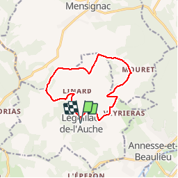

11.4 km | 14.3 km-effort


User


FREE GPS app for hiking
 SityTrail
IGN / Geographical institutes
SityTrail World
The world is yours!
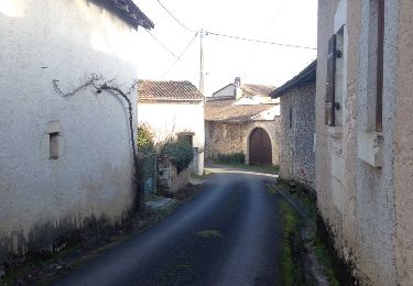
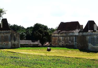
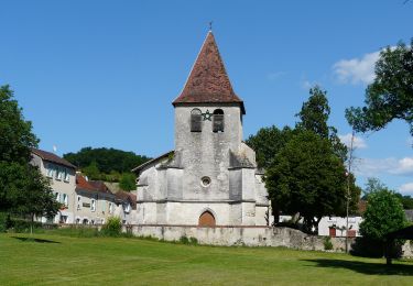
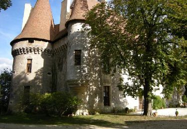
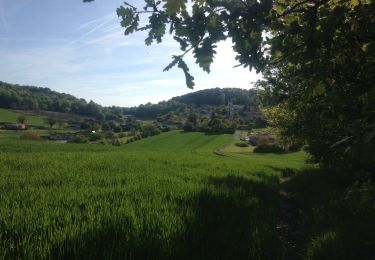
Trail Walking of 12.1 km to be discovered at New Aquitaine, Dordogne, Léguillac-de-l'Auche. This trail is proposed by amelie14.
Plein d'orchidées !

Walking

Walking
On foot
On foot

Walking

Walking
Walking

Walking
Walking