


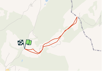

4.6 km | 7 km-effort


User


FREE GPS app for hiking
 SityTrail
IGN / Geographical institutes
SityTrail World
The world is yours!
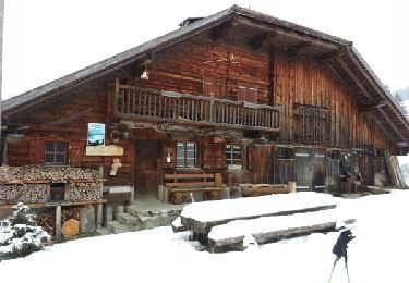
Trail Other activity of 3.3 km to be discovered at Fribourg, District de la Veveyse, Châtel-Saint-Denis. This trail is proposed by haerri-arnold.
Randonnée à ski avec les mercredistes
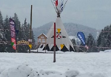
Snowshoes

Snowshoes
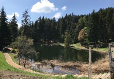
Walking

Walking
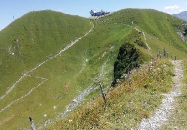
Walking
Snowshoes

Other activity

Walking
Walking