


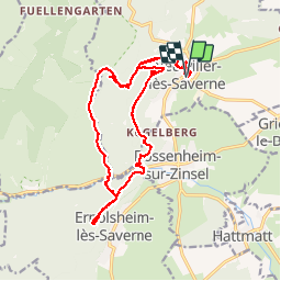

22 km | 29 km-effort


User


FREE GPS app for hiking
 SityTrail
IGN / Geographical institutes
SityTrail World
The world is yours!
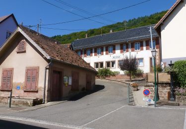
Trail Walking of 18.6 km to be discovered at Grand Est, Bas-Rhin, Neuwiller-lès-Saverne. This trail is proposed by VacheKiri67.
Faite le 11/08/2013 avec notre fils de 8 ans, un couple d'ami et leur fille.
D'après : Randonnées & Histoires N°11 p.83 : Sur les traces d'un saint, de châteaux et de grands personnages.


Horseback riding
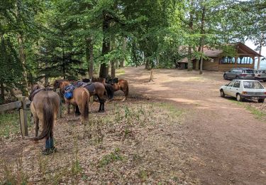
Horseback riding
On foot
On foot
On foot
On foot
On foot
On foot
On foot
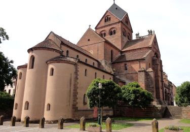
Randonnée forestière. Neuwiller-lès-Saverne est un superbe village.