


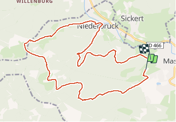

19.9 km | 34 km-effort


User


FREE GPS app for hiking
 SityTrail
IGN / Geographical institutes
SityTrail World
The world is yours!
Trail Walking of 12.1 km to be discovered at Grand Est, Haut-Rhin, Masevaux-Niederbruck. This trail is proposed by qlqin.
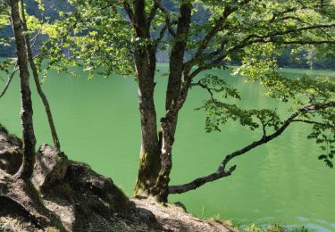
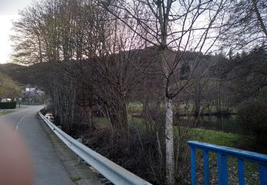
Excellente rando pas très sportive mais gustative et pas chère, à l'abri de la canicule sous ces superbes pinède.

Walking

Walking
Walking

Walking

On foot

On foot

Walking

Walking
Walking