


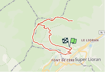

8.2 km | 14.2 km-effort

User


FREE GPS app for hiking
 SityTrail
IGN / Geographical institutes
SityTrail World
The world is yours!
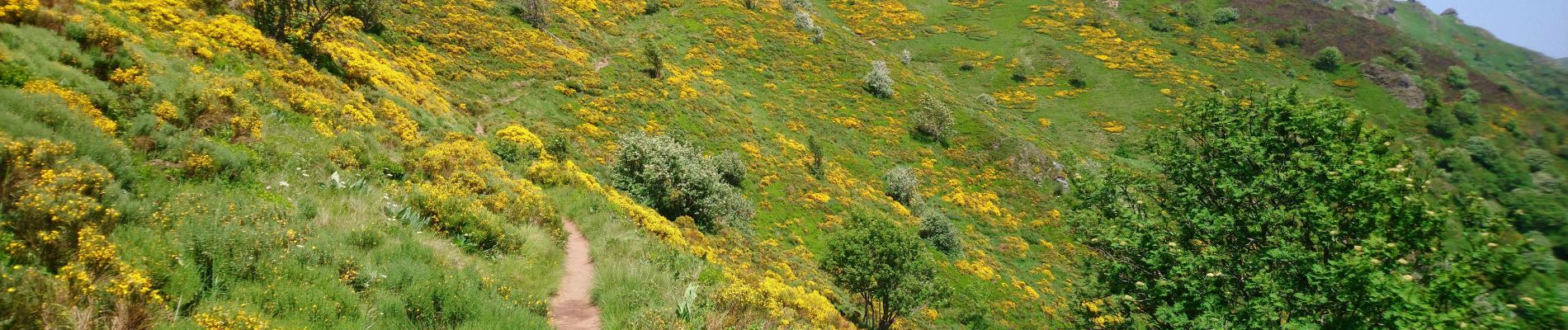
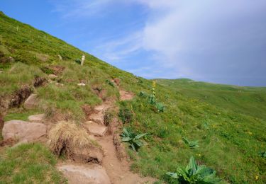
Trail Walking of 10.8 km to be discovered at Auvergne-Rhône-Alpes, Cantal, Laveissière. This trail is proposed by Orcal37.
Cantal - le Lioran - le Bec de l'Aigle via le Col de Rombière et le Téton de Vénus - 10.8km 540m 4h55 - 2019 06 26


Walking

Walking

Walking

Walking

Walking

Walking

Walking
Walking
Walking