


Cantal - le Lioran - Bec de l Aigle - 10.8km 540m 4h55 - 2019 06 26

Orcal37
User GUIDE
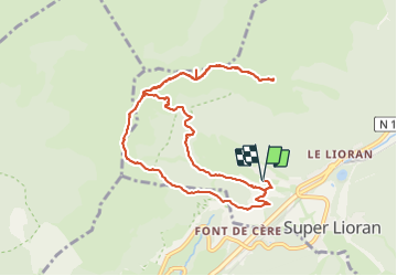

Length
10.8 km

Max alt
1685 m

Uphill gradient
538 m
Km-Effort
18 km

Min alt
1198 m

Downhill gradient
538 m
Boucle
Yes
Creation date :
2019-06-26 11:16:31.674
Updated on :
2021-09-11 13:42:34.465
5h00
Difficulty : Medium

FREE GPS app for hiking
 SityTrail
IGN / Geographical institutes
SityTrail Plus
The world is yours!
About
Trail Walking of 10.8 km to be discovered at Auvergne-Rhône-Alpes, Cantal, Laveissière. This trail is proposed by Orcal37.
Description
Cantal - le Lioran - le Bec de l'Aigle via le Col de Rombière et le Téton de Vénus - 10.8km 540m 4h55 - 2019 06 26
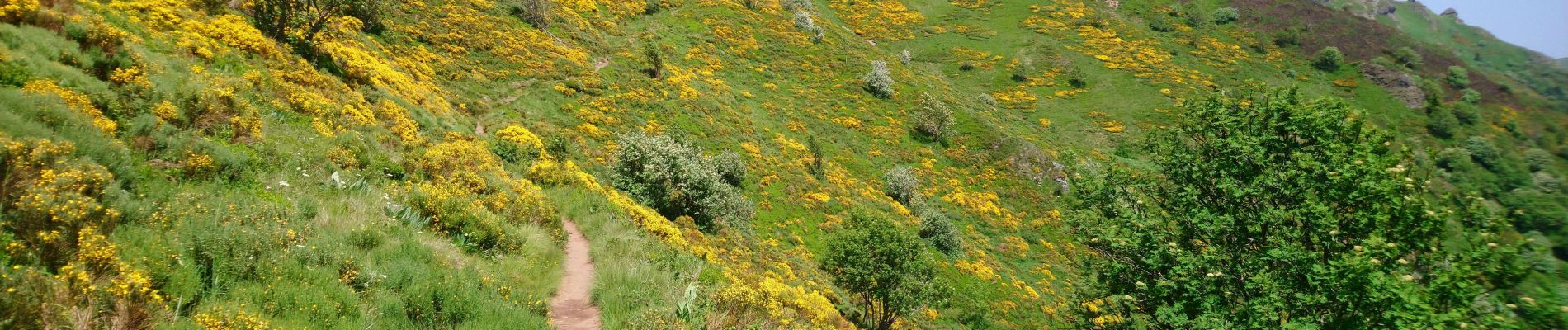
Photos


Positioning
Country:
France
Region :
Auvergne-Rhône-Alpes
Department/Province :
Cantal
Municipality :
Laveissière
Location:
Unknown
Start:(Dec)
Start:(UTM)
479415 ; 4992788 (31T) N.
Comments