


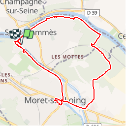


17.3 km | 20 km-effort


User


FREE GPS app for hiking
 SityTrail
IGN / Geographical institutes
SityTrail World
The world is yours!
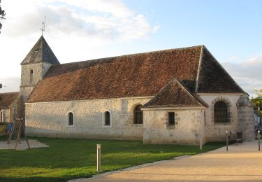
Trail Walking of 9.1 km to be discovered at Ile-de-France, Seine-et-Marne, Saint-Mammès. This trail is proposed by Bntg.
Du sous-bois, du bord-de-l'eau, du tourisme pour un moment agréable sans difficulté. Profitons-en pour flâner.


Walking
Walking

Other activity
On foot
On foot
On foot
On foot

On foot

Walking
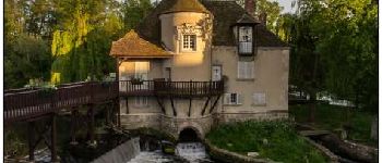
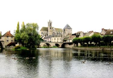
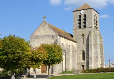
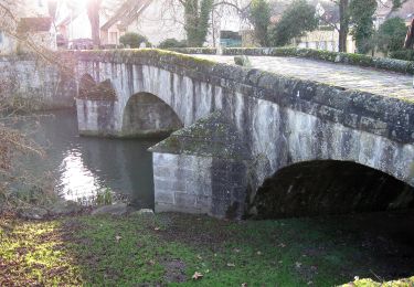
superbe randonnée ! très variée.... aux rives du Loing et de la Seine, on peut faire une courte variante, avant d'arriver à Moret, en empruntant, à droite, le Canal du Loing. La petite ville de Moret mérite vraiment le détour (office du tourisme fermé le lundi)