


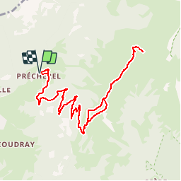


10.9 km | 28 km-effort


User


FREE GPS app for hiking
 SityTrail
IGN / Geographical institutes
SityTrail World
The world is yours!
Trail Walking of 13.1 km to be discovered at Auvergne-Rhône-Alpes, Savoy, Jarsy. This trail is proposed by djeepee74.
BOUCLE
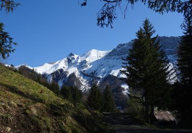
La sente pour le "Plan de la Limace" se prend à la hauteur d'un cairn, 70 mètres après la dernière ferme d'alpage.
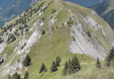
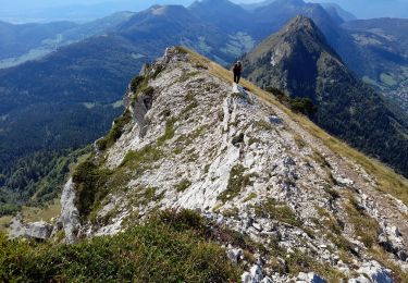
Le "passage* de Plan Molard" est une sente réputée dangereuse.
Privilégiez plutôt de monter par les crêtes... Quitte à, l'altitude 1800 atteinte, redescendre 80 mètres sur une pente raide et exposée... afin de rejoindre la sortie du passage* !
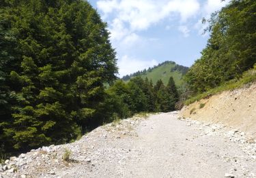
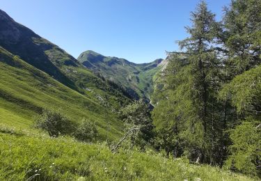
Au retour, allez jusqu'à la Croix d'Allant en coupant par l'alpage.


Walking

Walking
Walking
Walking
Walking
Walking
Walking
Walking
Walking