


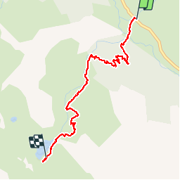

15.2 km | 31 km-effort

User


FREE GPS app for hiking
 SityTrail
IGN / Geographical institutes
SityTrail World
The world is yours!
Trail Walking of 3.2 km to be discovered at Provence-Alpes-Côte d'Azur, Hautes-Alpes, Cervières. This trail is proposed by Jacques-WIRTH.
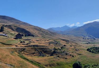
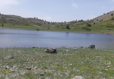
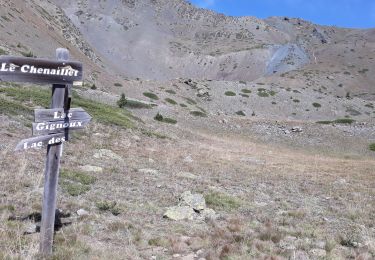
Trajet de le montée vers le Lac des Cordes.
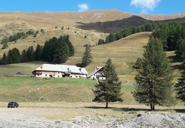
Une première moitié en forêt très agréable avec cependant un passage assez difficile ( aide d'un câble plastifié en main-courante = bien utile ),
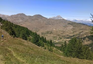
puis plus haut dans l' ascension, en terrain découvert , très belle vue sur la vallée et les montagnes environnantes.
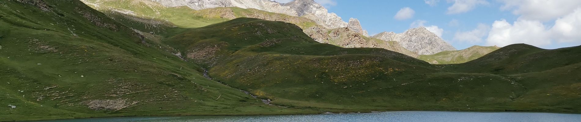
Arrivée à un " petit col " et découverte du lac des Cordes. au bord duquel nous avons rencontré un randonneur nous avouant qu' il s' est déjà baigné ! pas frileux ce monsieur ( eau plutôt fraiche ).
Retour au point de départ pas le même sentier.


Walking

Walking
Walking
Walking
Walking
Walking
Walking
Winter toboggan
Walking