


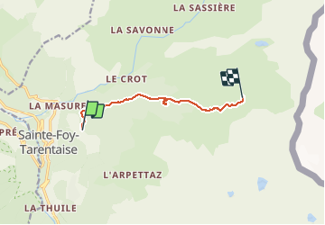

11.8 km | 23 km-effort


User


FREE GPS app for hiking
 SityTrail
IGN / Geographical institutes
SityTrail World
The world is yours!
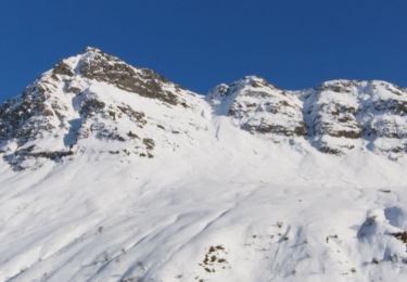
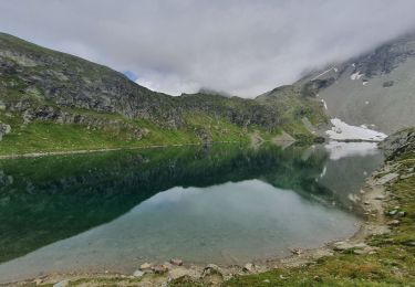
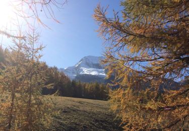
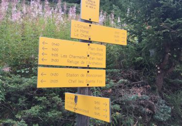
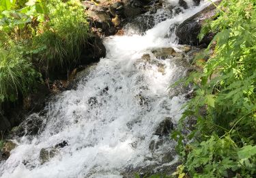
Trail Walking of 7.2 km to be discovered at Auvergne-Rhône-Alpes, Savoy, Sainte-Foy-Tarentaise. This trail is proposed by Klhn.
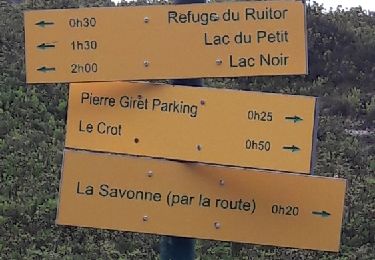
Refuge agréable, accueil sympathique
PS : ne pas tenir compte de la boucle entre 3 et 4 km...prendre le sentier dans les hautes herbes vers la gauche au lieu du sentier montant sur la droite
Walking
Walking

Walking
Walking
Touring skiing
Walking
Walking
Walking
Walking