


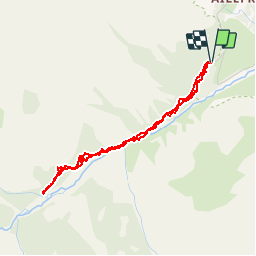

14.5 km | 28 km-effort


User


FREE GPS app for hiking
 SityTrail
IGN / Geographical institutes
SityTrail World
The world is yours!
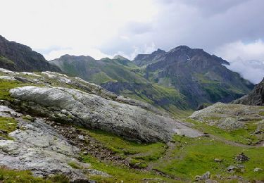
Trail Walking of 4 km to be discovered at Provence-Alpes-Côte d'Azur, Hautes-Alpes, Vallouise-Pelvoux. This trail is proposed by sergio19.
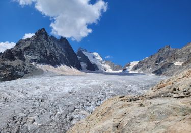
Sortie chamois à faire le soir
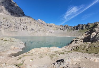
Si pas dans ce secteur continuer sur le sentier
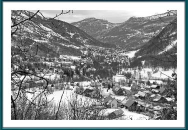
Ne pas tenir compte de la durée

Walking

Walking
Walking
Walking

On foot
On foot

Walking

Walking
Walking