


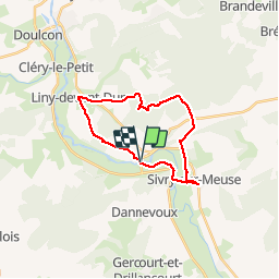

126 km | 139 km-effort


User


FREE GPS app for hiking
 SityTrail
IGN / Geographical institutes
SityTrail World
The world is yours!
Trail Walking of 20 km to be discovered at Grand Est, Meuse, Vilosnes-Haraumont. This trail is proposed by AlainQuent.
Electric bike

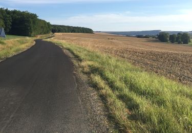
Walking

Moto cross

Other activity