


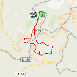

4.9 km | 6.3 km-effort

User


FREE GPS app for hiking
 SityTrail
IGN / Geographical institutes
SityTrail World
The world is yours!
Trail Walking of 5.9 km to be discovered at Grand Est, Bas-Rhin, Ottrott. This trail is proposed by bemurix.
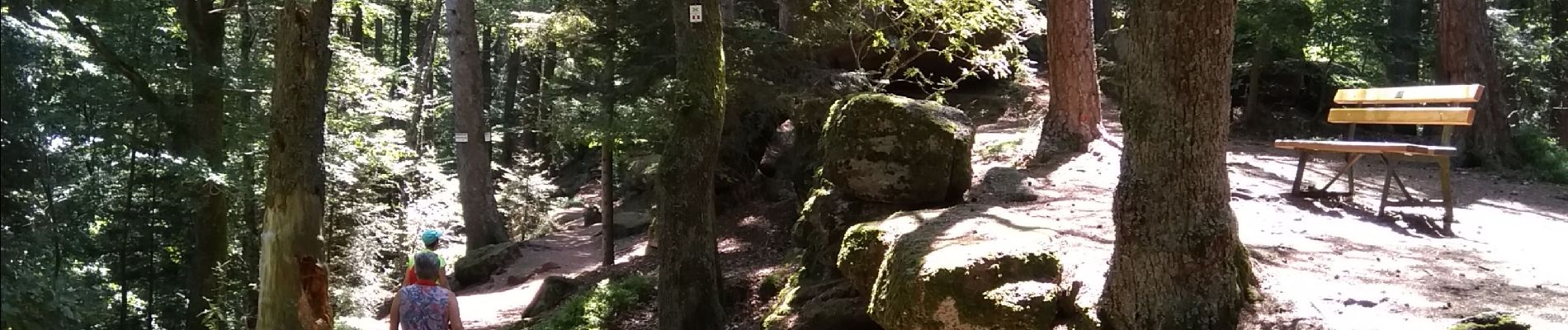
rocher du panorama, maennelstein, lieu de mémoire crash aérien 1992, grotte des druides, tombes mérovingiennes, mont ste Odile. beau circuit ombragé, aucune difficulté particulière. restauration au mont ste Odile (snack, bar, restaurant)


Walking

Walking

Walking

Walking

Walking

Walking

Mountain bike

Mountain bike

Walking