


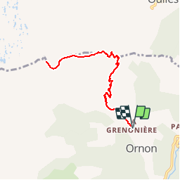

10.6 km | 19.3 km-effort


User


FREE GPS app for hiking
 SityTrail
IGN / Geographical institutes
SityTrail World
The world is yours!
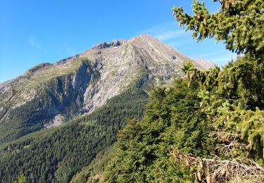
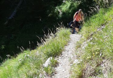
Trail Walking of 8.9 km to be discovered at Auvergne-Rhône-Alpes, Isère, Ornon. This trail is proposed by tracegps.
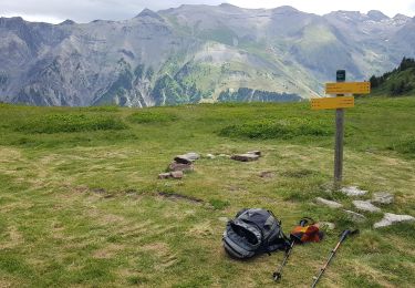
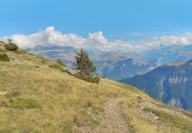
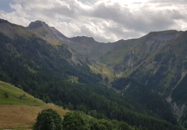
Une fin de montée très agréable dans les alpages. Un beau point de vue sur le col d´Ornon et les massifs environnants.


Walking
Walking
Walking
Walking
Walking
Touring skiing
Touring skiing
Walking
Walking