


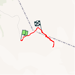

13.1 km | 28 km-effort

User


FREE GPS app for hiking
 SityTrail
IGN / Geographical institutes
SityTrail World
The world is yours!
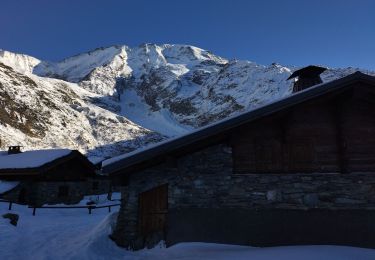
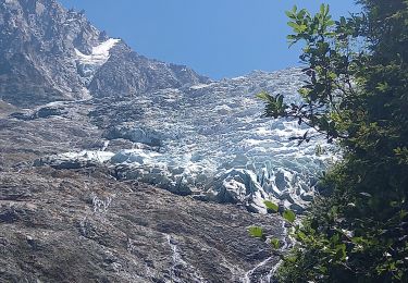
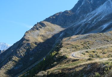
Trail Snowshoes of 4.9 km to be discovered at Auvergne-Rhône-Alpes, Upper Savoy, Saint-Gervais-les-Bains. This trail is proposed by jeff2.
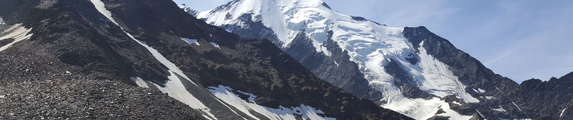
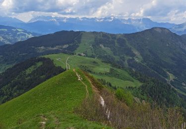
Une belle balade en altitude et une petite idée du début de l'itinéraire du Mt Blanc.


Walking

Walking
Walking

Walking
Walking
Touring skiing
Touring skiing
Walking
On foot