


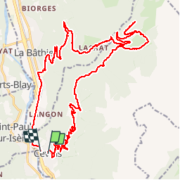

18.3 km | 40 km-effort


User


FREE GPS app for hiking
 SityTrail
IGN / Geographical institutes
SityTrail World
The world is yours!
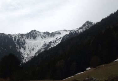
Trail Electric bike of 30 km to be discovered at Auvergne-Rhône-Alpes, Savoy, Cevins. This trail is proposed by franquen.
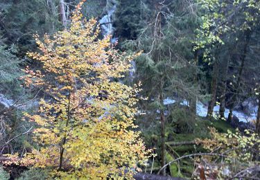
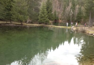
Rando sympa dans la forêt sur des routes et chemins déserts.
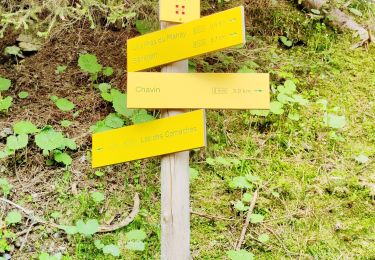
à Menetant avons pris le chemin menant aux lacs des tempêtes et aux anciennes ardoiseries mais pas assez de batterie pour aller les visiter!
Walking
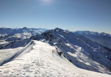
Touring skiing
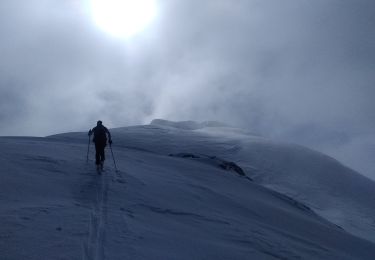
Touring skiing
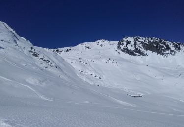
Touring skiing
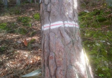
Walking
Walking
Walking

Mountain bike