


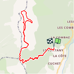


9.3 km | 22 km-effort

User GUIDE


FREE GPS app for hiking
 SityTrail
IGN / Geographical institutes
SityTrail World
The world is yours!
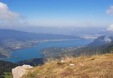
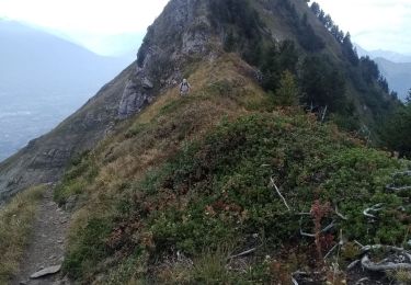
Trail Walking of 12.3 km to be discovered at Auvergne-Rhône-Alpes, Upper Savoy, Saint-Ferréol. This trail is proposed by Kargil.
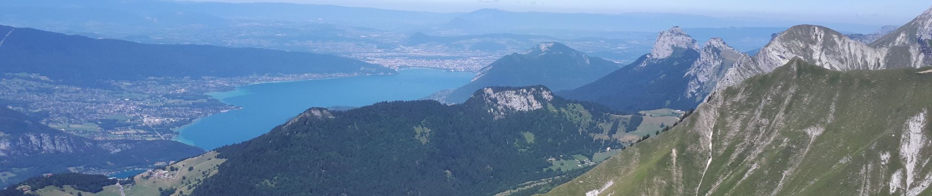
L'un des plus beau panorama de la région et mérite bien son nom.


Walking

Walking
Walking
Walking
Walking

Touring skiing
Walking
Walking

Walking