


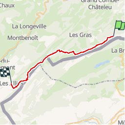

13.3 km | 19 km-effort

User


FREE GPS app for hiking
 SityTrail
IGN / Geographical institutes
SityTrail World
The world is yours!
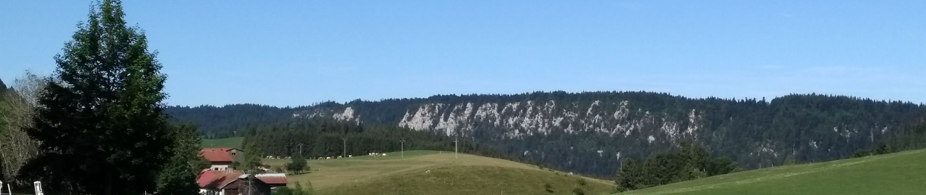
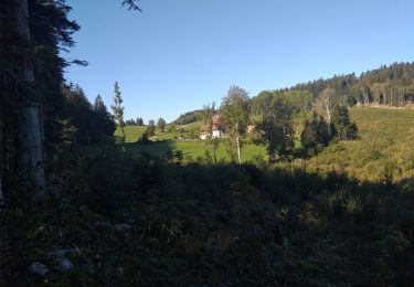
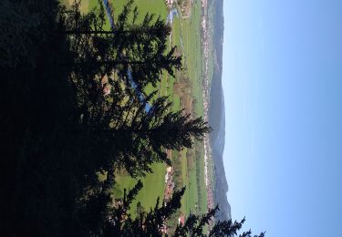
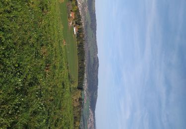
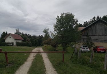
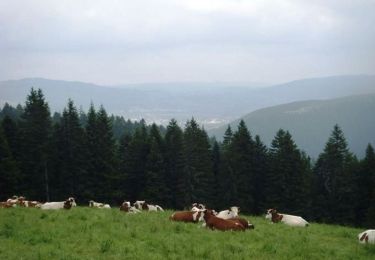
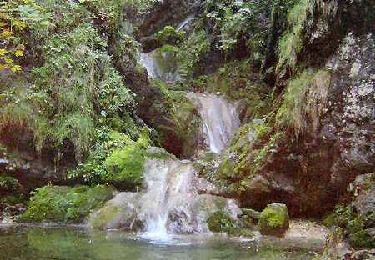
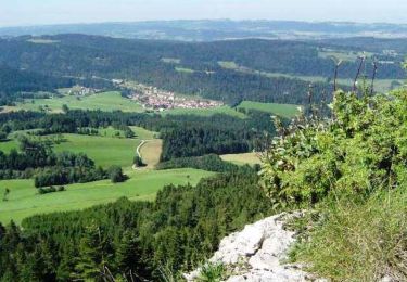
Trail Walking of 16.1 km to be discovered at Bourgogne-Franche-Comté, Doubs, Grand'Combe-Châteleu. This trail is proposed by annefrance70.

Walking
Walking
Walking

Walking
Walking
Walking

Walking
Walking
Mountain bike