


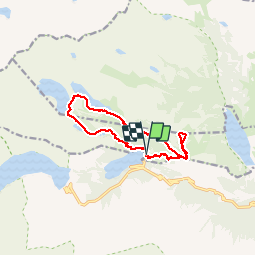

11.6 km | 28 km-effort


User


FREE GPS app for hiking
 SityTrail
IGN / Geographical institutes
SityTrail World
The world is yours!
Trail Walking of 12.3 km to be discovered at Occitania, Hautespyrenees, Saint-Lary-Soulan. This trail is proposed by zardoc13.
Oredon, Monpelat, Aumar, Aubert, Laquettes

Walking

Walking

Walking

Walking
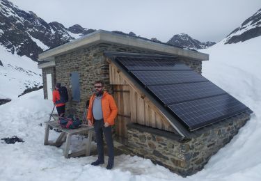
Snowshoes
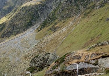
Walking

Walking


sport

Walking