


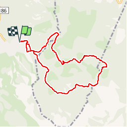

7.7 km | 14.9 km-effort


User


FREE GPS app for hiking
 SityTrail
IGN / Geographical institutes
SityTrail World
The world is yours!
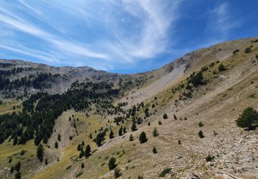
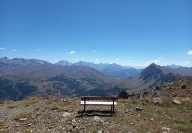
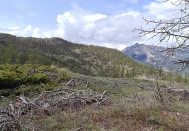
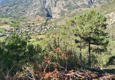
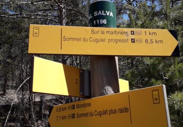
Trail Walking of 8.9 km to be discovered at Provence-Alpes-Côte d'Azur, Hautes-Alpes, Risoul. This trail is proposed by RobertLots.
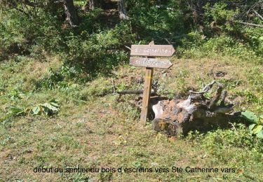
depuis le studio, les pinatiaux inférieurs, route de vars, vers vallon du Melezet, forêt de Sapey, route de Vars pour le retour.

Walking
Walking
Mountain bike
Walking
Walking
Walking
Walking
Walking
Walking