


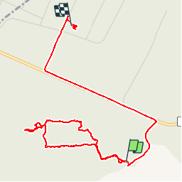

9.8 km | 12.1 km-effort


User


FREE GPS app for hiking
 SityTrail
IGN / Geographical institutes
SityTrail World
The world is yours!
Trail Walking of 5.3 km to be discovered at Grand Est, Meuse, Apremont-la-Forêt. This trail is proposed by lorenzot54.
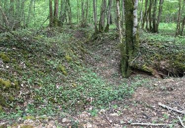
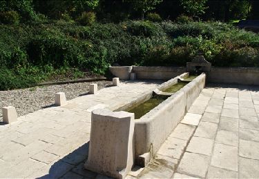
Découverte historique du saillant de St Mihiel

Walking
Walking

Walking

Walking
Walking
Walking
Walking
Walking
Walking