


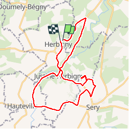

10.1 km | 12.8 km-effort


User


FREE GPS app for hiking
 SityTrail
IGN / Geographical institutes
SityTrail World
The world is yours!
Trail Walking of 17.4 km to be discovered at Grand Est, Ardennes, Justine-Herbigny. This trail is proposed by ABICHE.
Randonnée dans la campagne des côtes pré-ardennaise.
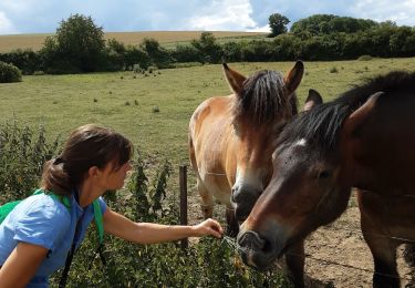
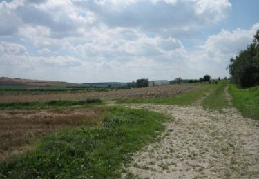
 Herbigny - les 2 tables d'orientation - Photo 1")
 Herbigny - les 2 tables d'orientation - Photo 2")
 Herbigny - les 2 tables d'orientation - Photo 3")
 Herbigny - les 2 tables d'orientation - Photo 4")
 Herbigny - les 2 tables d'orientation - Photo 5")


Walking
Walking

Walking

Mountain bike

Walking