


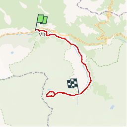

9.1 km | 25 km-effort


User


FREE GPS app for hiking
 SityTrail
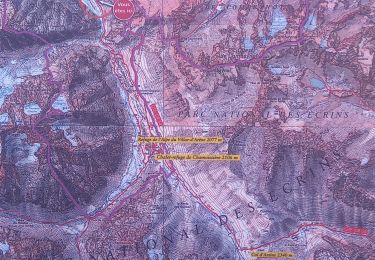
IGN / Geographical institutes
SityTrail World
The world is yours!
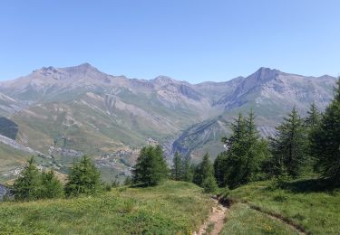
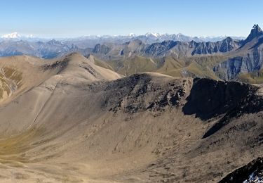
Trail Walking of 22 km to be discovered at Provence-Alpes-Côte d'Azur, Hautes-Alpes, La Grave. This trail is proposed by vicant.
la grave - refuge de l'alpe villar d'arene aller et retour au lac pavé

Walking
Walking
Walking

Walking
Walking

Walking

Walking

Walking
Walking