


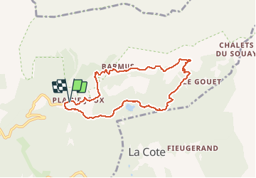

9 km | 14.3 km-effort


User GUIDE


FREE GPS app for hiking
 SityTrail
IGN / Geographical institutes
SityTrail World
The world is yours!
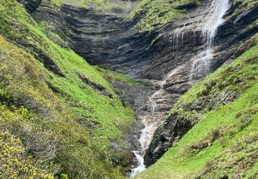
Trail Walking of 7.6 km to be discovered at Auvergne-Rhône-Alpes, Upper Savoy, Passy. This trail is proposed by Kargil.
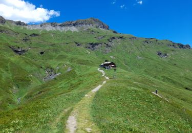
Promenade de décrassage


Walking

Walking

Walking

Running
Walking
Snowshoes
Walking
Walking
Walking
sortie non connue et adecouvrir